- Practical GIS
- Gábor Farkas
- 426字
- 2021-07-02 22:49:14
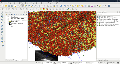
Opening tabular layers
The vector layers we opened so far were dedicated vector data exchange formats; therefore, they had every information coded in them needed for QGIS to open them. There are some cases when we get some data in a tabular format, like in a spreadsheet. These data usually contain points as coordinates in columns and attributes in other columns. They do not store any metadata about the vectors, which we have to gather from readme files, or the team members producing the data.
QGIS can handle one tabular format--CSV (Comma Separated Values), which is an ASCII file format, a simple text file containing tabular data. Every row is in a new line, while fields are separated with an arbitrary field separator character (the default one is the comma). The layout of such a layer is custom; therefore, we need to supply the required information about the table to QGIS. If we try to drag our GeoNames layer to the canvas, QGIS yields to a Layer is not valid error. To open these files, we need to use the Add Delimited Text Layer tool from the sidebar (comma icon):
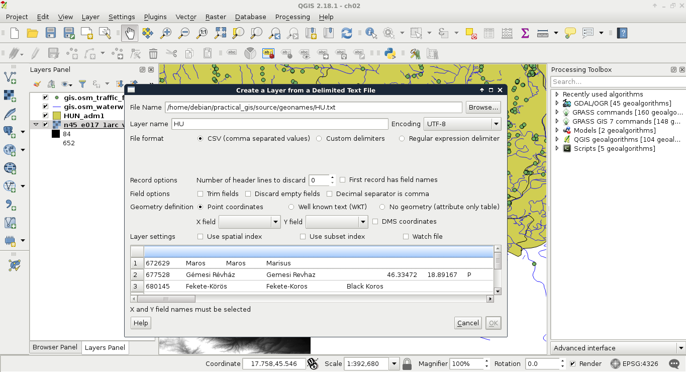
If we browse our GeoNames table, we can see that QGIS automatically creates a preview from the accessed data. We can also see that the preview is far from correct. It's time to consult the readme file coming with the GeoNames extract. In the first few lines, we can see the most important information--The data format is tab-delimited text in utf8 encoding. Let's select Custom delimiters and check Tab as a delimiter. Now we only need to supply the columns containing the coordinates. We can see there are no headers in the data. However, as the column descriptions are ordered in the readme file, we can conclude that the fifth column contains the latitude data (Y field), while the sixth column contains the longitude data (X field). This is the minimum information we can add the layer with: